Monday, 30 May 2011

T0 GOLDEN 51N 116W

The layover in Kelowna lasted a couple of days. We borrowed electricity from Gordon & Sara and played with the youngest grandson. Teenage grandaughters were busy texting.

 Solar Powered Airplane

Solar Powered Boat (floating in Mother's Roasting Pan)


Hang Glider (Trying to Score One on Poppa)

Solar Furnace (Almost Set Poppa`s Sleeve on Fire)

Great hospitality and companionship. Many thanks to Ashley who surrendered her room and to Cassi who tolerated grandparently affection and Poppa`s TCM movies.

2011 05 29 Filling our water tank with Kelowna water, we roll north east. EsDora has several idiosyncracies but manages the ups and downs of the Kootenays. Stop at Needles for a cable ferry across the Lower Arrow Lake. Take on supplies in Nakusp. Up the hill to over night at the Nakusp Hot Springs. We soak with bodies from three continents. Photographing the local swarm of hummingbirds yields indifferent results:

Nakusp Hot Springs & the Flight of the Humming Birds
N50 17.753` W117 41.158`

The kids of Nakusp had a tile making contest and left this one for me.


2011 05 30 Off to Galena Bay. EsDora 2 waits politely behind a serious long vehicle.


Our highway system has it`s own Navy.

Upper Arrow Lake: Galena Bay to Shelter Bay on Hwy 23

Letting deboarding traffic pass gives EsDora a chance to loaf along without obstructing others.

A Mission Rule is that we drive about 4 hours a day. 4 hours through the Rogers Pass finds us approaching Golden, the Civic Campsite and a spot close enough to the Office to receive WiFi. Hence this report.


EsDora by the Kicking Horse River, Golden BC
N51 17.844 W116 57.061


For those keeping track:

Friday, 27 May 2011

To KELOWNA 49N 119W

Greeted by solid rain in AM.
Looking Out Our Front Door

Must figure how to make the furnace blow hot air.

On to Bromley Rock. In the summer, a great gathering place along the Similkameen. People swimming, leaping and picnicing.
Bromley Rock N49 25.059' W120 15.152'

Today, a little misty.
Picnic Tabled

In the nearby forest, evidence of earlier civilizations?
Face in the Forest

Stop for liqourice in Keremeos, a town notable for having it's own natural logo on the nearby hill side.

Keremeos Mountain Logo N49 12.296' W119 49.371'

Unlike most travelers, we welcome stoppages. A chance to make lunch.
Waiting for the Blast N49 20.181' W119 45.425'

Onto the Kid's house in Kelowna. Sara feeds us. Event of the night is the Rutland Secondary School Dance production of "PLAY IT LOUD" starring mostly our grand-daughter and some other peoples kids.
Granddad & Dancer (with brother's help)

Here's that brother:
Grand-dad & Danger

And while trying to eat:
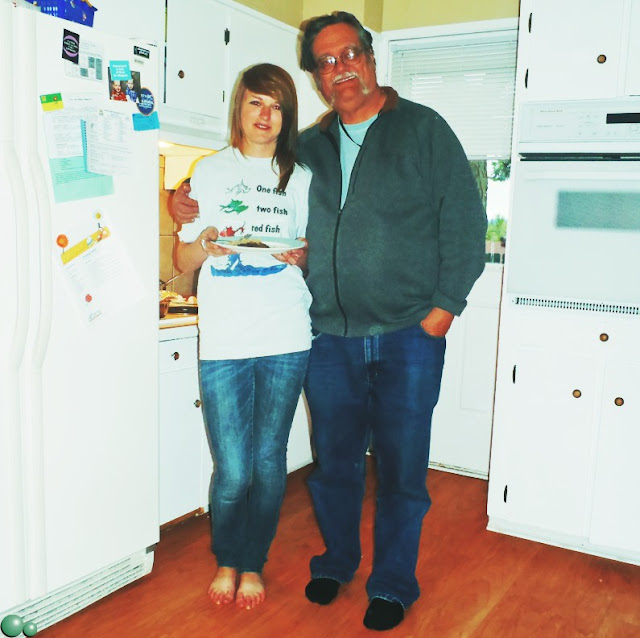
Grand-dad & Diner

Take heart, there are no more grandchildren to the east.

Afterwards, Gordy provides me with a bottle of Grant's Patiently Crafted Blended Scotch Whiskey, perhaps in hope that I will drift off before can I tell him about when I was his age. Food, liquor and opportunity to admire grandkids; we may lurk for days.....

Oh and here is another try at that map:
 Always remember: The map is not the territory.

To MULE DEER 49N 120W

With some too and fro-ing, we are loaded and ready to go. Strangely, while packing for a voyage of indeterminate length, the biggest effort was leaving Trethewey in a state which we wanted to find on our return.
How to organize this blog? Well, start with a Picture:
Ready to Rock'n'Roll N49 03.179' W122 19.581'

Odometer reads 139,980 (that's miles folks!) and we resolutely start moving at 14:46. Would have been earlier but the Canucks took 5 innings to win the Western Conference.

Gas at Hope. Fueling this EsDora is going to cost at least twice per day as the old one. This will be the last fuel cost comment. We are priviledged to have the discretionary funds to attempt this. Sorry about the inheritance kids!

Along about six, we arrive at Mule Deer Campground in Manning Park. The Similkameen River is boisterous. We pick a site which is more likely to be undercut than to flood.

Life on the Edge N49 25.059' W120 15.152'

Nature Note: Three separate black bears were foraging along the way through Manning, but the discovery of the day was imbedded in the pipes just behind the Ladies Flush Potty. 
 
A travel Blog needs maps. I like showing the degrees:

Carolyn prefers showing more detail:

The art of travelling together seems to involve compromise.....

Wednesday, 18 May 2011

OMEN

EsDora 2 is undergoing fixes to a variety of minor complaints. The running gear has been through a truck maintenance facility. Onboard systems have been dewinterized and tested. Just as we are thinking of piling our stuff in and taking off, I came across this omen....
How BC Differs from Alberta

Now that we have two extra cylinders, the Hubbert Peak is suddenly happening in our back yard...

Hubbert's peak refers to a singular event in history: the peak of the entire planet's oil production. After Peak Oil, according to the Hubbert Peak Theory, the rate of oil production on Earth would enter a terminal decline. On the basis of his theory, in a paper by American Geophysicist King Hubbert presented to the American Petroleum Institute in 1956, he correctly predicted that production of oil from conventional sources would peak in the continental United States around 1965-1970. Hubbert further predicted a worldwide peak at "about half a century" from publication and approximately 12 gigabarrels (GB) a year in magnitude.

Retrieved 2011 05 18 from http://en.wikipedia.org/wiki/Hubbert_peak_theory


Marion King Hubbert b1903 d1989

Monday, 9 May 2011

RESET 49N 124W

If the longest journey begins with a single step, then we choose to begin at this place.

Qualicum Hydrant #67 49 21.275'N 124 26.893'W

Municipal hardware, like this hydrant, makes reliable landmarks. Civic investments are surveyed into place. If the earth moves, pipes break, requiring repair and re-survey. People, especially emergency workers, are alert to their locations. If the beach below ever bursts into flames, this hydrant will deliver fire flow.

The Beach at Qualicum with Eagle Tree

This pebbly beach is accessible and underused. At low tide, broad sandy flats are exposed. Eswyn charged visitors a rent rock for each stay. She had specific criteria and many grandchildren were sent back to the beach to replace the "wrong sort of stone". Over 40 years this amounted to quite a pile. The new owners of the house asked to keep these granite cobbles.

Granite Cobble

This stone will accompany us on our travels and, perhaps, mark our furthest destination. Pouring water from one ocean into another might wreck havoc with flora and fauna. A misplaced pebble will just confuse some future geologist.


Looking Toward Hornby Island

Launching from Qualicum Beach closes a chapter for us. Where will we go from here?


Saturday, 7 May 2011

ESWYN'S ALPINE CARETAKERS 49N 124W

Eswyn Lyster collected alpine plants from around the world. When she died, a dedicated group "rescued" her specialized garden. A rockery was created at the Nanoose Community Hall near Red Gap Centre. Over the past year her plants have been supplemented with others. Today, Eswyns's family was honoured to participate in the dedication of the garden on Mother's Day weekend.

A World Class Alpine Garden at 49 16' 21"N 124 11' 27.87"W

Eswyn's garden references and records have been given to the group who insist on calling themselves Eswyn's Alpine Caretakers. June and Daphne, Eswyn's friends and alpine co-conspirators attended the event.

June & Daphne

The group including Karen, Elaine and Loraine, worked hard to build the garden from an old blackberry patch and put on the event. A great way to remember a good mother.


Commemorative Plaque


Wednesday, 4 May 2011

EsDORA 1 Finds a Good Home

EsDora 1

EsDora 1, having taken us to the Manitoba border in 2009, has found a new family. Shortly explorations will resume in EsDora 2.....